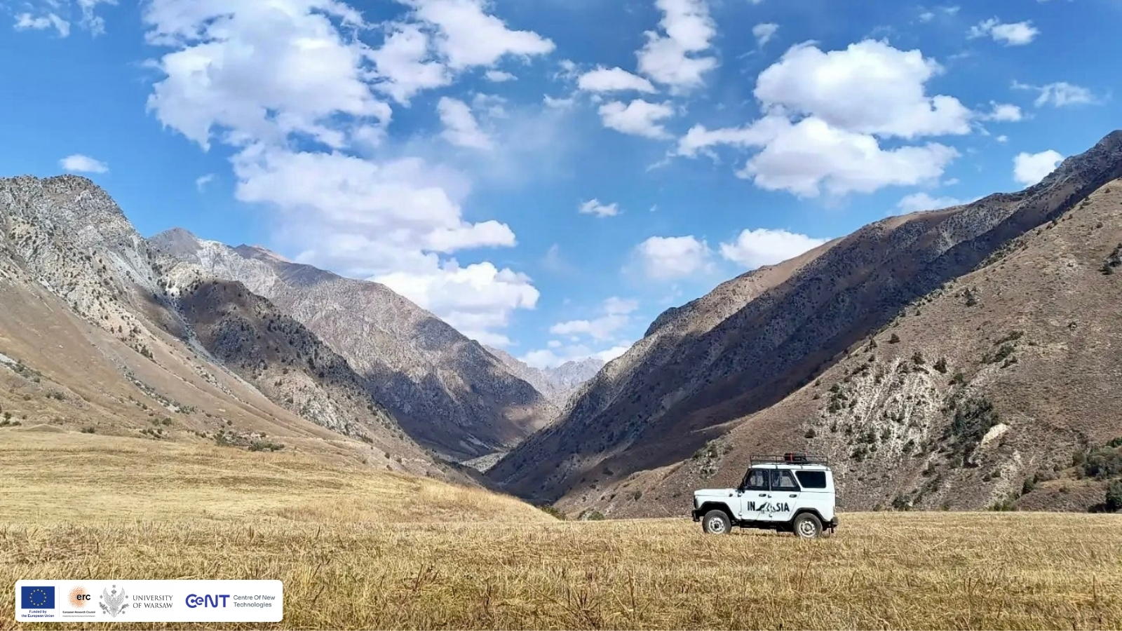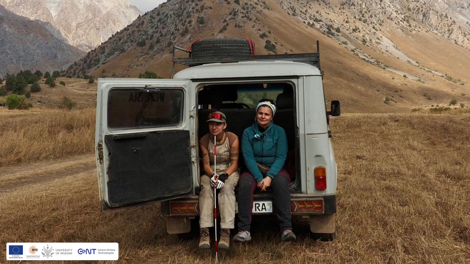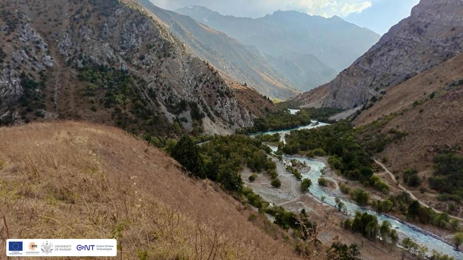
In September 2026, the INASIA team returned to Uzbekistan for another field season. This time, our work took us into the Chatkal Range of the Tian Shan Mountains, where geophysical prospection and archaeological survey came together in the search for traces of Palaeolithic activity.
We began at Kuksaray 2, a multilayered Middle Palaeolithic site. Here, instead of digging, we first looked beneath the surface. Using a combination of non-invasive methods, like electrical resistivity tomography (ERT), ground-penetrating radar (GPR), geomagnetic survey and seismic methods, we investigated what may be preserved underground without disturbing the archaeological deposits. The results will help us better understand the site and identify areas with potential for future research.
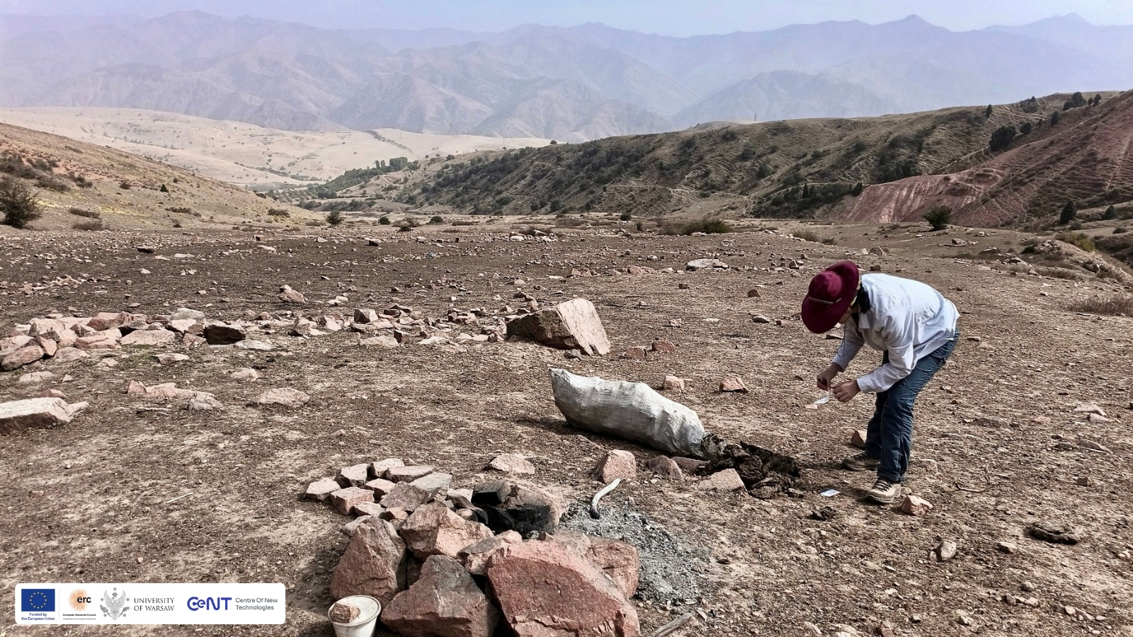
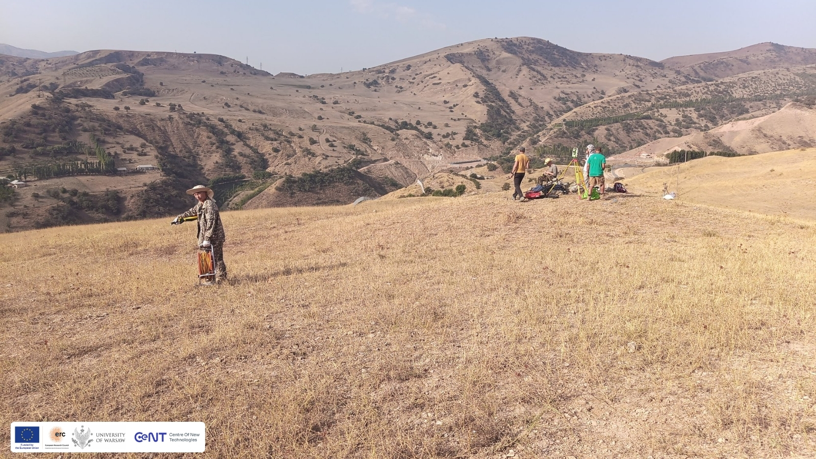
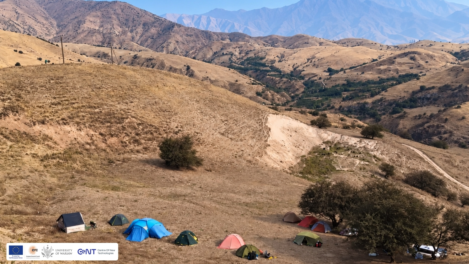
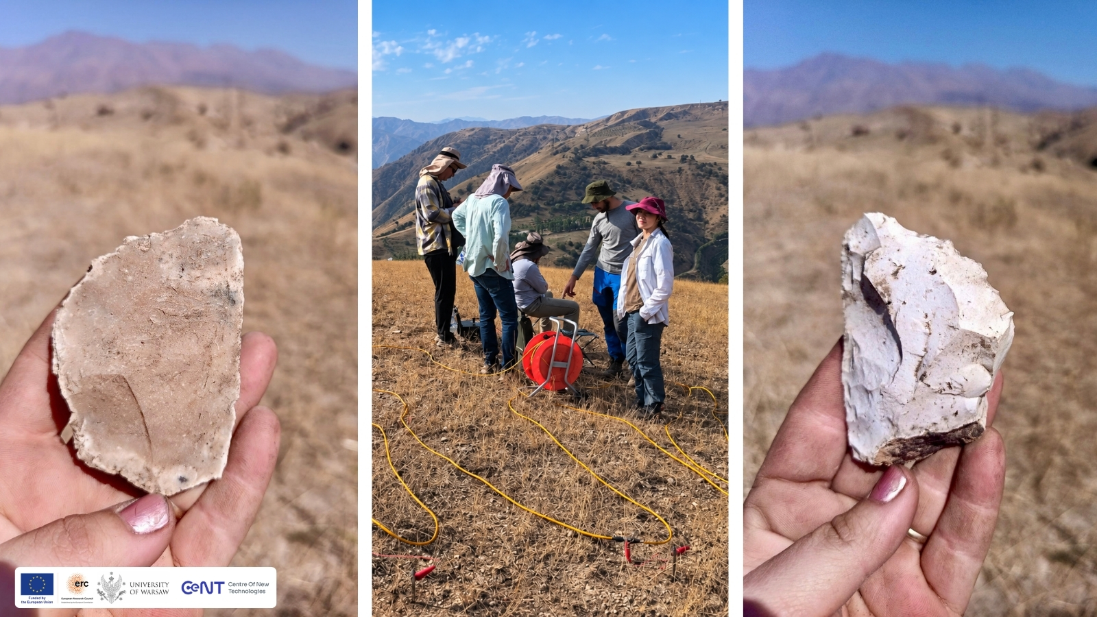
From Kuksaray 2, we moved further into the Tian Shan. For the next two weeks, much of our work meant walking: crossing mountain slopes, surveying areas at high altitude and looking for archaeological material exposed on the surface. It did not take long to find it. At around 1,700 metres above sea level, we recorded Middle Palaeolithic stone artefacts. Individual surface finds may seem modest, but during archaeological survey they can be important clues. They show us where people were present in the landscape and can lead us towards places where more extensive archaeological deposits may still survive.
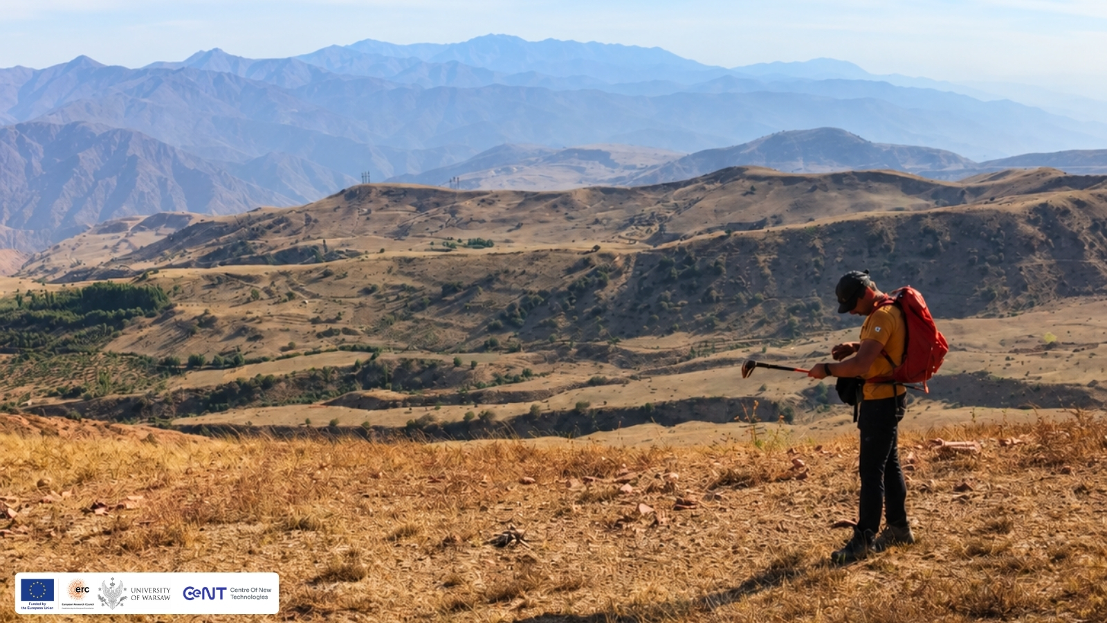
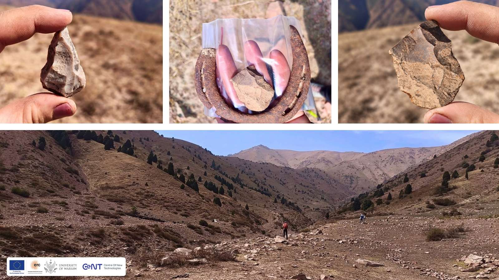
One of the most unexpected finds came when we joined our colleagues documenting kurgans. We were walking across the area when we came across something belonging to a much earlier period — a Keilmesser. A Keilmesser is a bifacial stone tool associated with the Middle Palaeolithic. These tools are best known from Central and Eastern Europe, although comparable forms have also been identified much farther east across Eurasia. Finding one in the Tian Shan raises interesting questions about the geographical distribution of Middle Palaeolithic technological traditions and adds another piece to the archaeological picture of Central Asia.
Into the Pskem Valley
The last stage of our survey took us deeper into the mountains, into Pskem which is the only glacial valley in Uzbekistan. For eight days, we were completely offline, surrounded by mountains and an archaeological landscape that includes loess sites, kurgans, rock art and traces of human activity from very different periods. Much of this time was spent on the Maidanthal Plateau. What we encountered there was remarkable: archaeological remains scattered across a vast area, forming an extensive archaeological landscape that has never before been systematically investigated.
This is exactly what survey is about. By combining geophysical research at known sites such as Kuksaray 2 with exploration of less studied parts of the Tian Shan and Pskem Valley, we can follow the traces left on the surface, identify new areas of Palaeolithic activity and decide where to look next.